ENGLISH
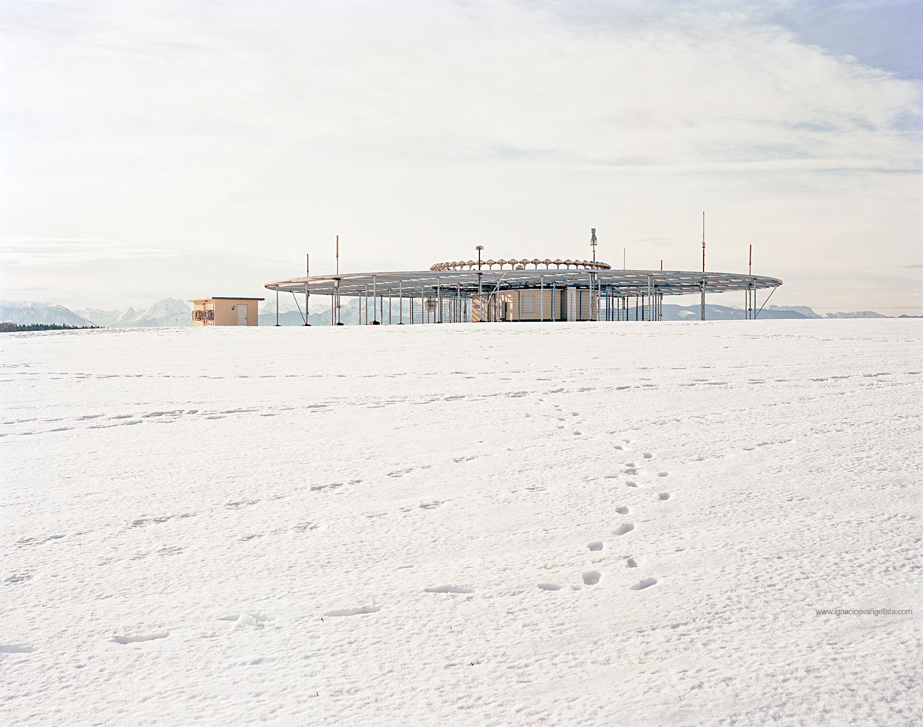
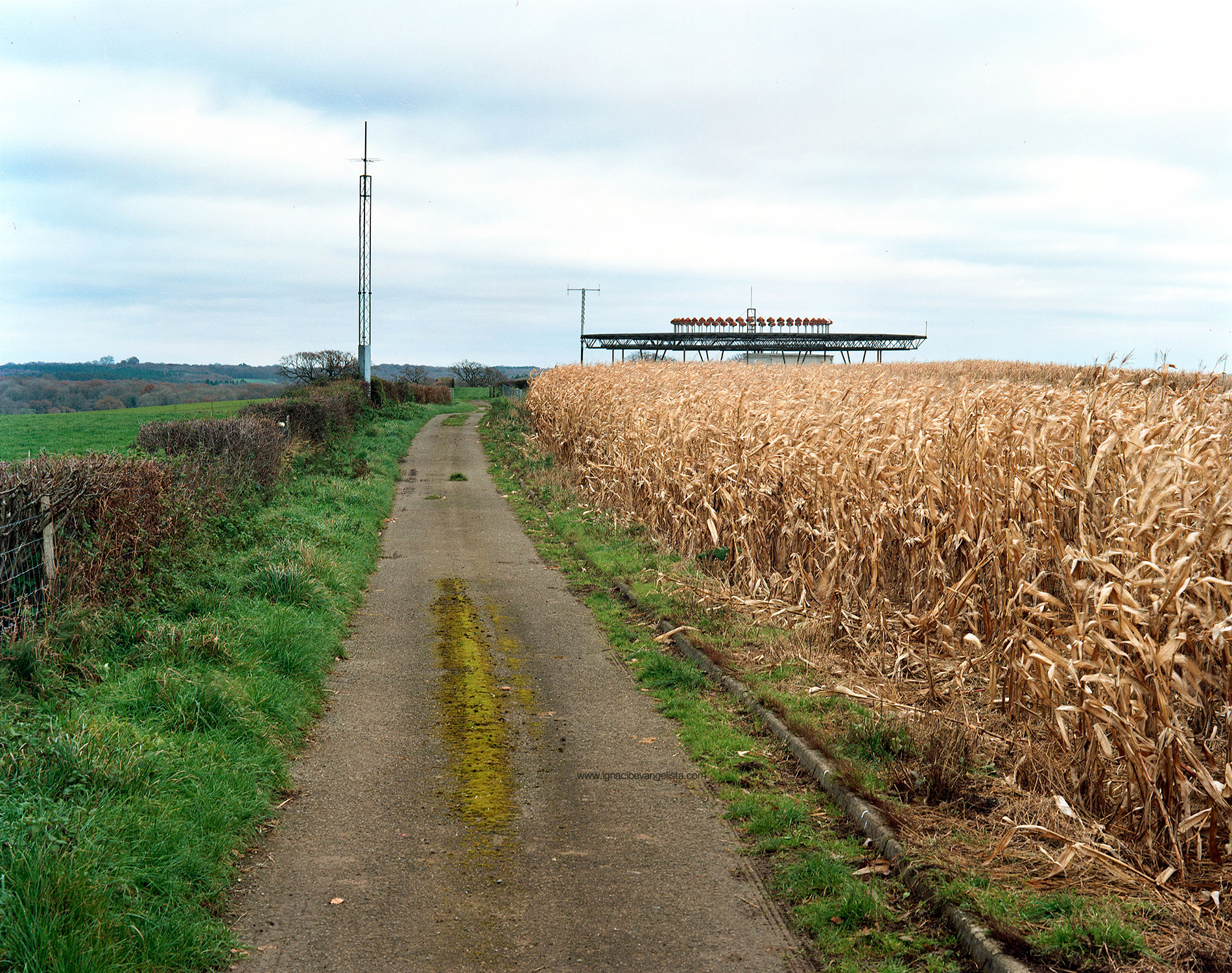
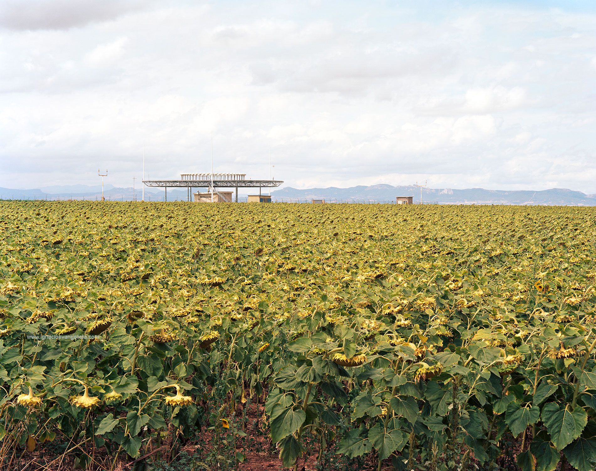
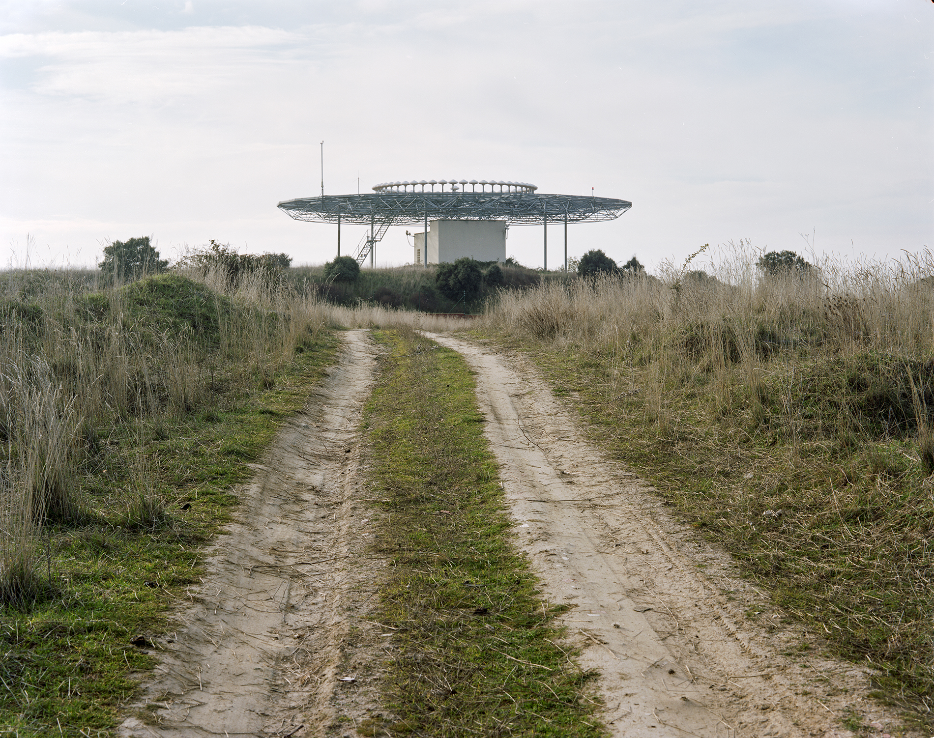
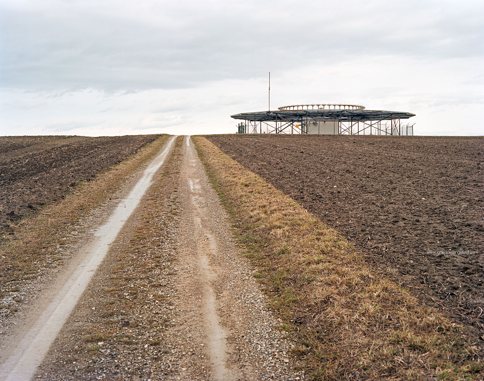
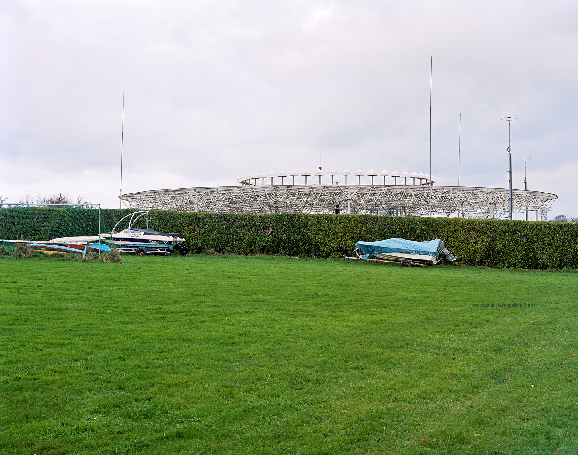
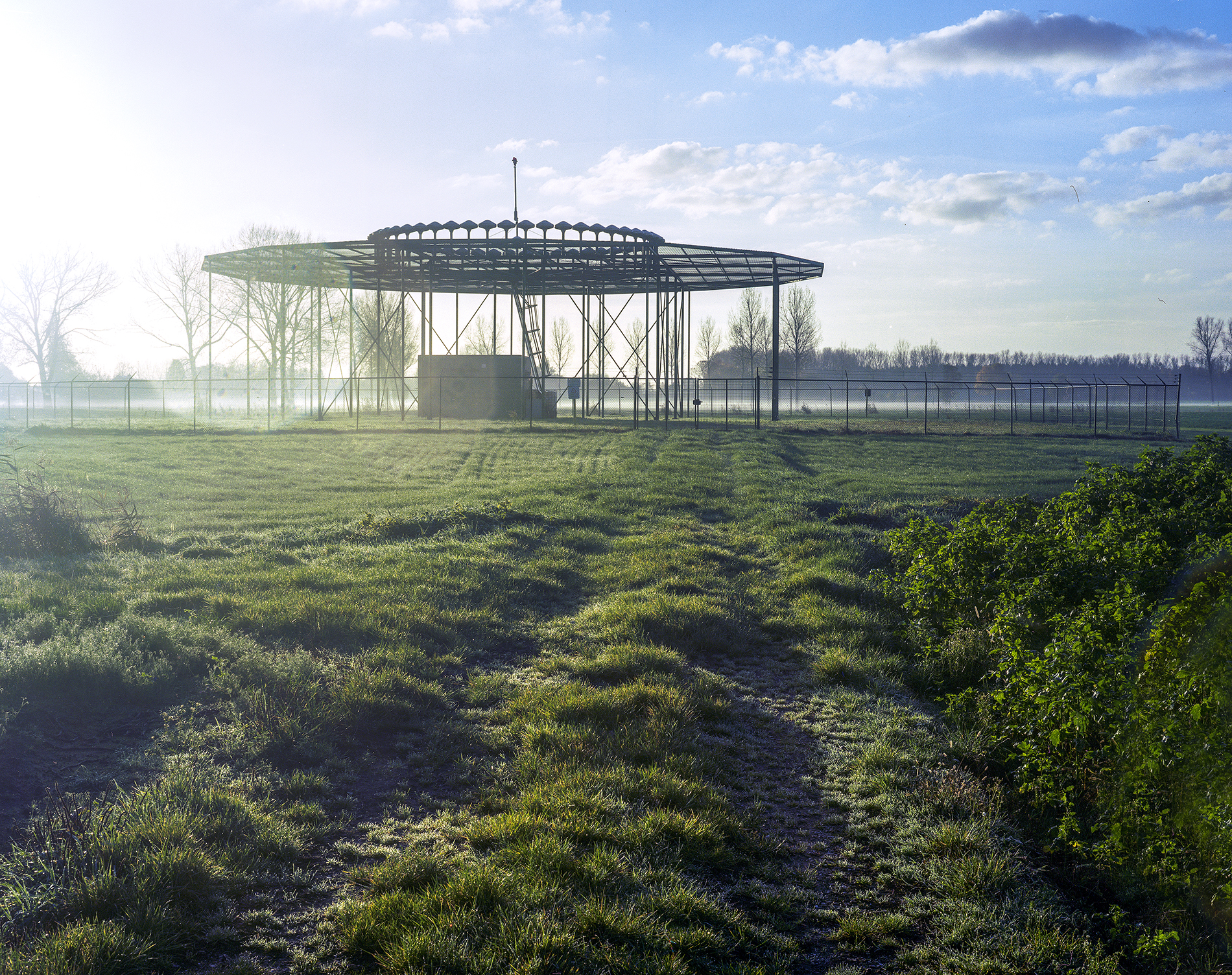
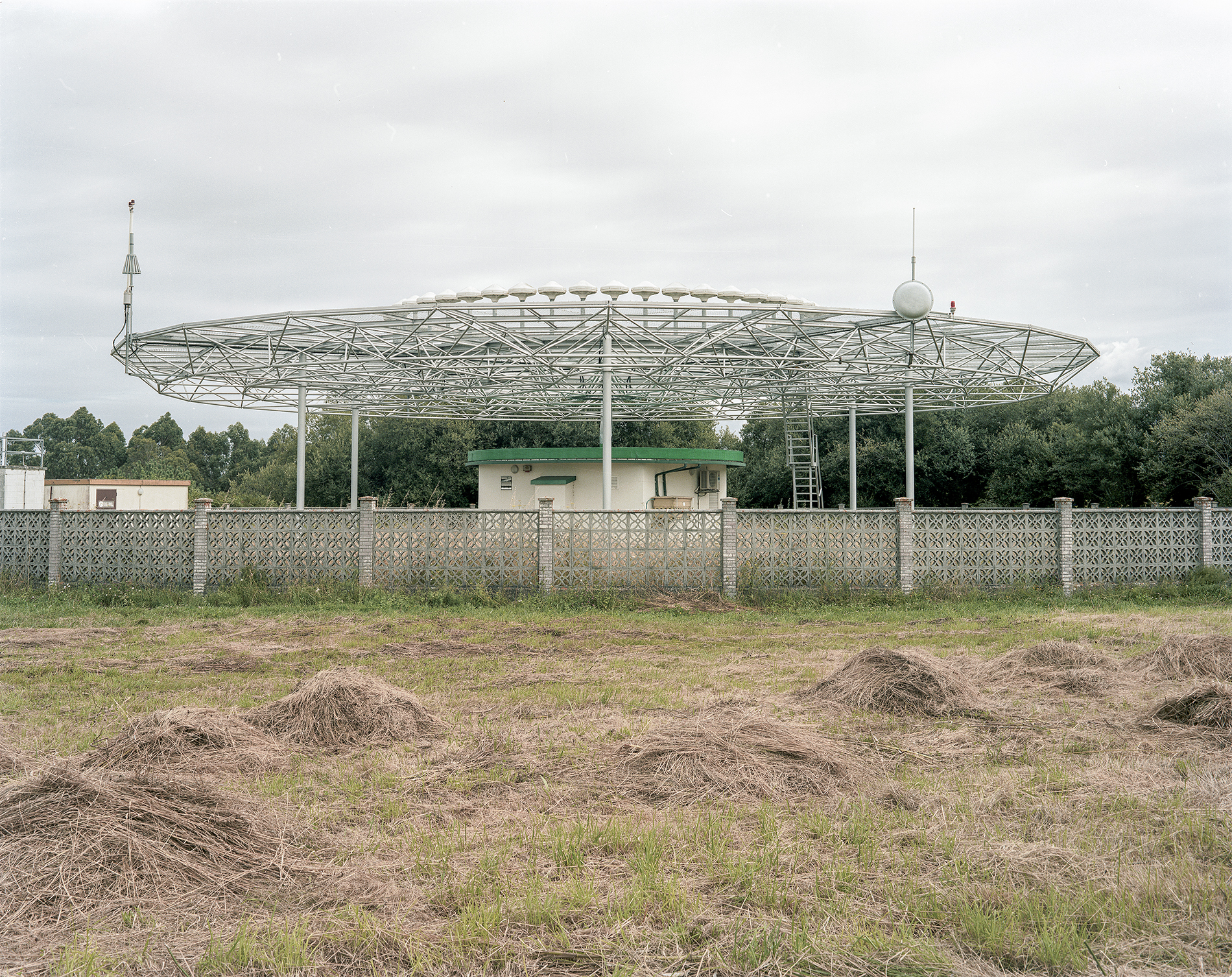
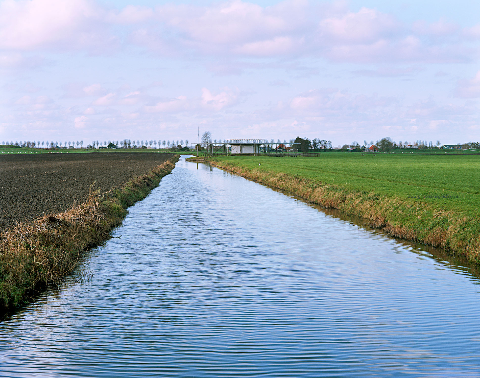
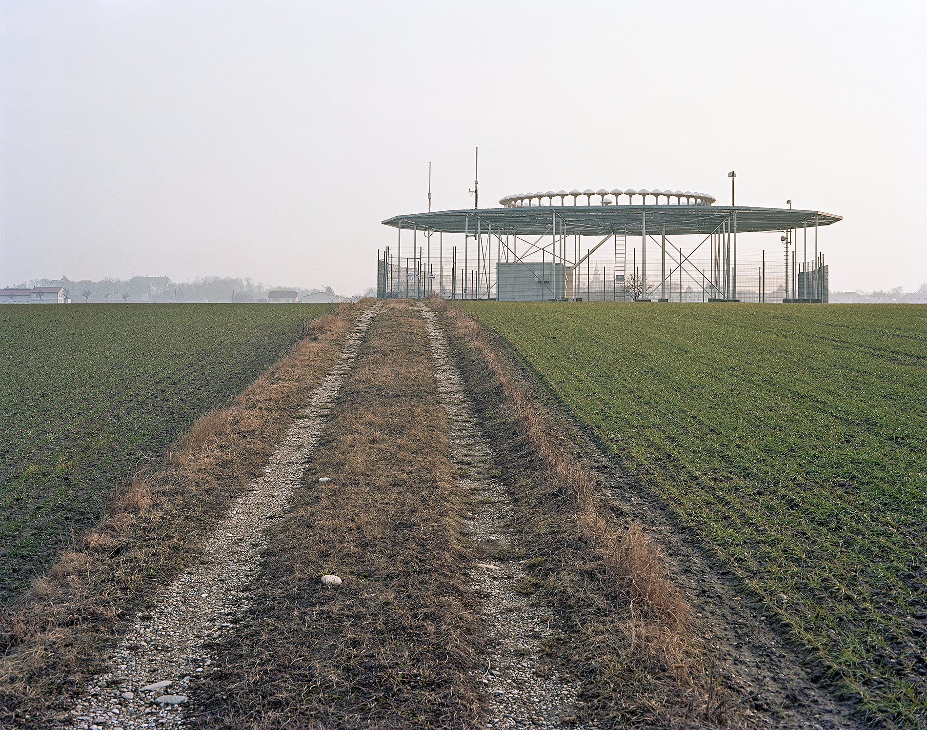
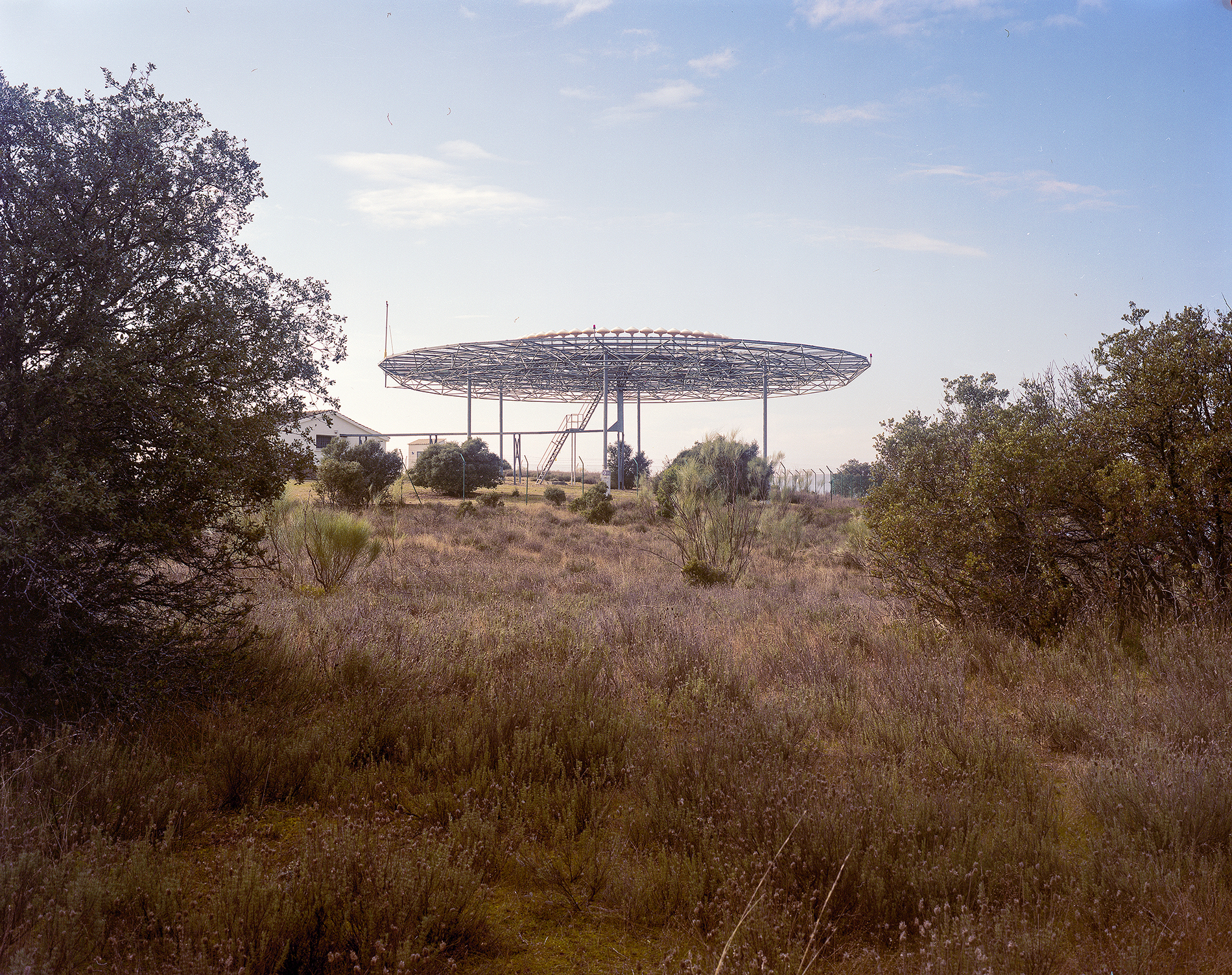
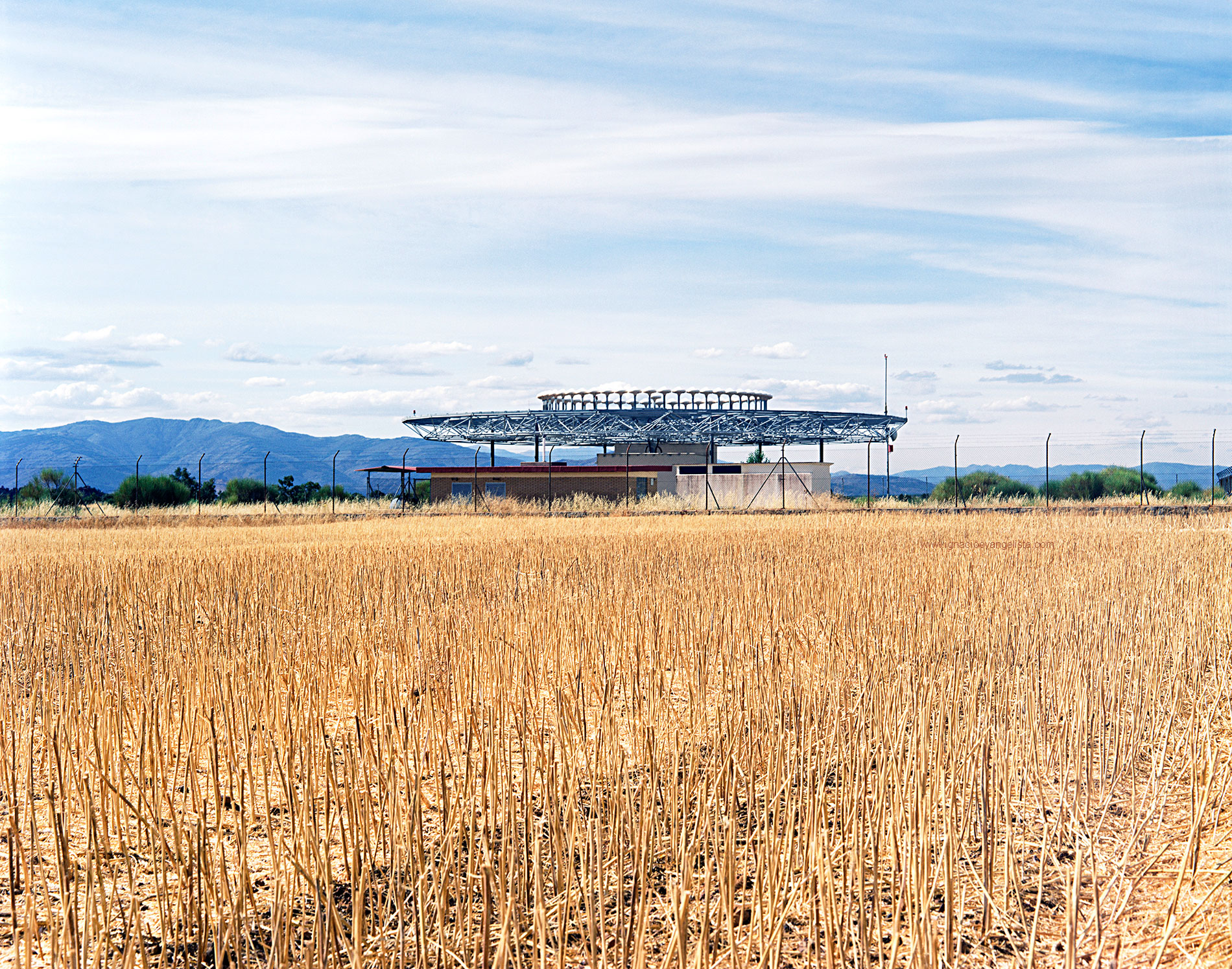
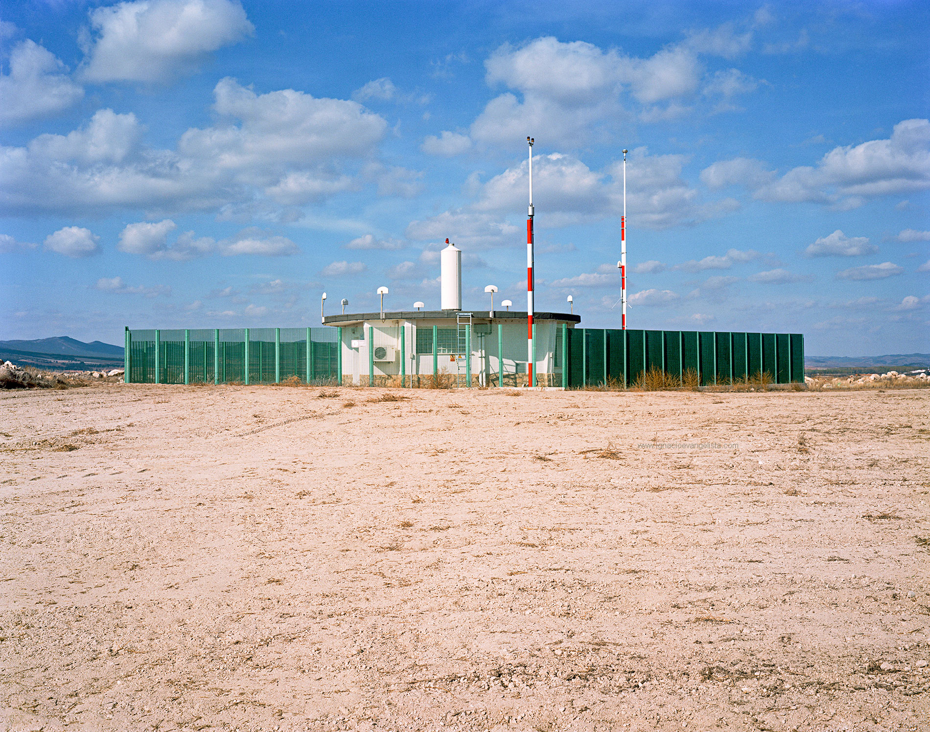
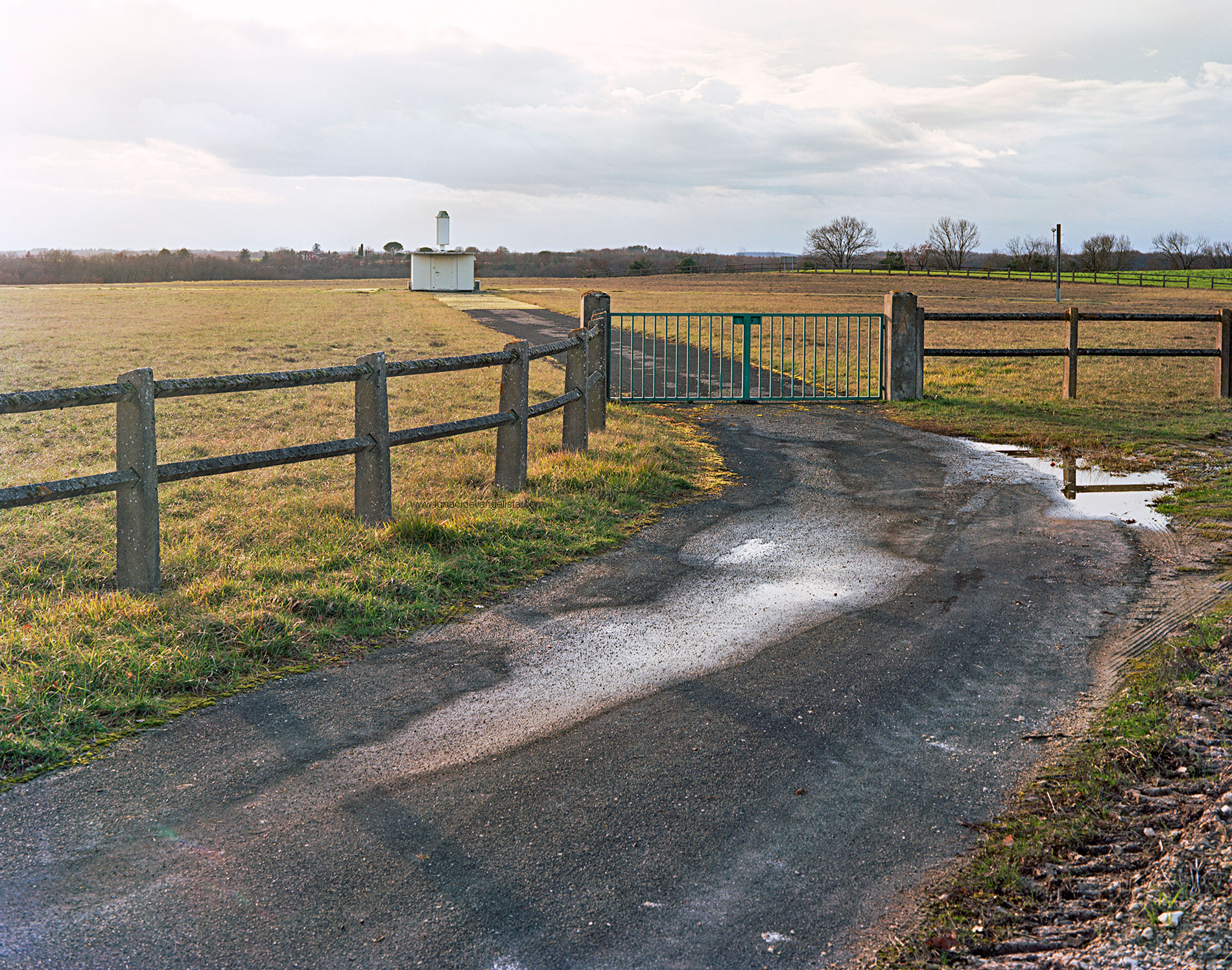
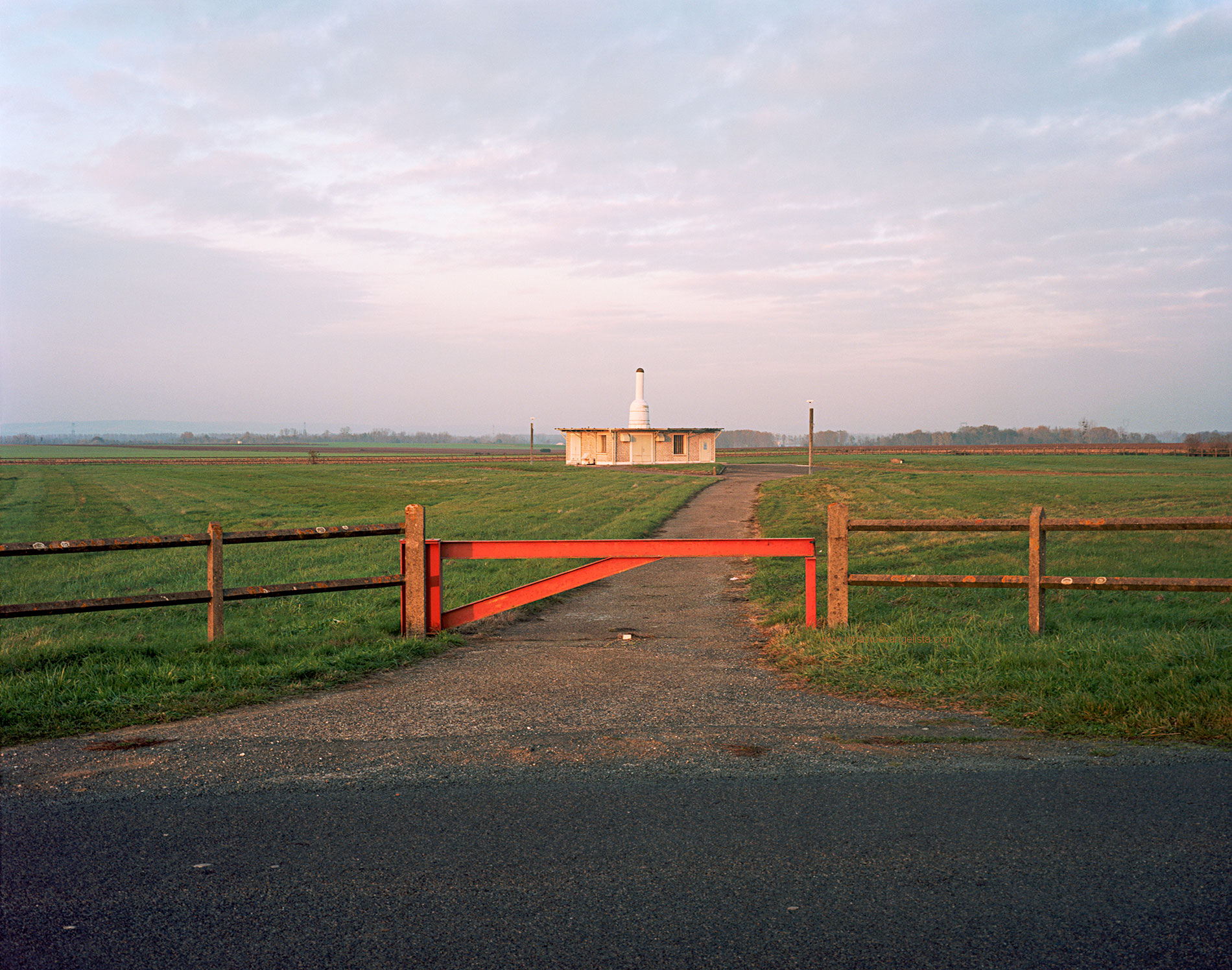
VHF omnidirectional range (VORs) are huge radio antennas, also called radio beacons, used in aviation, through which information is transmitted and received to fix the location of passing aircrafts and the routes established by their pilots. VORs are located in isolated and remote locations far away from big populations to avoid interferences in their radio broadcasts, so they are rarely seen and known, except by people related to the world of aeronautics, thus they generate strange and disturbing images, and provide an interesting contradiction between artefact and nature. VOR is the current standard air navigational system in the world, although he future of VORs is uncertain due to the development of satellite navigation systems, which work more accurately, like the European satellite system “GALILEO” or the American GPS. However, in recent times, thousands of flights in the Baltic area and Scandinavia have been suspended, due to interference produced by the Russian armed forces in satellite systems (electronic warfare) as they were in areas where there are no VOR radio beacons, as an alternative to satellite positioning systems. Likewise, in the case of solar storms, satellite systems stop working correctly, so VORs are the main alternative to avoid aerial chaos.
In this project, I am portraying some of the VOR stations through which an imaginary air route would pass, connecting some of the major European airports.
The first part of this project received a Madrid Regional Government Grant for ongoing projects in Visual Arts, in 2017.
Also thanks to http://3dairspace.org.uk
ESPAÑOL
Las siglas VOR forman el acrónimo de VHF Omni Directional Range. Los VOR son un tipo de grandes antenas, también llamadas radiofaros, utilizadas en aviación que proporcionan al piloto de una aeronave información sobre su posición, orientándolo en la navegación para seguir una ruta aérea preestablecida. El sistema de aerovías se apoya actualmente en las estaciones VOR. Estas enormes antenas se ubican en lugares aislados para evitar interferencias en sus emisiones de radio, por lo que pocas veces son vistos y conocidos excepto por personas relacionadas con el mundo de la aeronáutica. Su ubicación en parajes naturales genera imágenes extrañas e inquietantes, con una interesante contradicción entre el artefacto tecnológico y el paisaje natural donde se ubican. El futuro de las estaciones VOR es incierto, debido a la aparición de los sistemas de navegación por satélite con una mayor precisión, como el europeo GALILEO o el estadounidense GPS. No obstante, en los últimos tiempos, miles de vuelos en la zona del Báltico y Escandinavia han sido suspendidos, debido a interferencias producidas por las fuerzas armadas rusas en los sistemas de satélites (guerra electrónica) al tratarse de zonas en donde no existían radiofaros VOR, como alternativa a los sistemas de posicionamiento por satélite.
Igualmente, en el caso de tormentas solares, los sistemas de satélite dejan de funcionar correctamente, por lo que los VOR son la principal alternativa para evitar el caos aéreo. En este proyecto muestro algunas de las estaciones VOR por las que pasaría una imaginaria ruta aérea que conectara algunos de los principales aeropuertos europeos.
La primera parte de este proyecto recibió en 2017 una de las ayudas a la producción artística en Artes Visuales de la Comunidad de Madrid.